
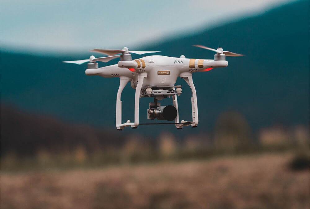
Aerial surveys are an essential element within many commercial sectors and industries. In the past, conducting this type of survey would be carried out manually and involve hiring out specialist equipment. Recent times though have seen drones used more and more to survey land or structures from above. As drone technology has advanced, it has meant that UAV aerial mapping and aerial surveys can be handled with ease.
But what specific benefits do they offer when it comes to aerial surveying?
Much quicker
Using drones for this purpose is much less time consuming than more traditional methods. Drones can cover much more ground in the same space of time and therefore enable a survey to be completed in a faster time. This can speed up the project you are working on which the survey is needed for. For the companies who perform surveys, it allows them to offer a better service to clients while still delivering top-class results.
Cost savings
The other major benefit which aerial filming with drones offers is cost savings. Compared to the cost of a standard aerial survey, this method is usually cheaper. This is in part due to the survey taking less time to complete but also the fact that there is no need to hire lots of extra equipment or staff to cover it. By hiring a drone and expert operator through a professional company, you are good to go.
Safer for people
This is a very important benefit which drones bring to aerial mapping. They keep people safer by simply removing the need for humans to carry out the surveys manually. This prevents internal staff or external contractors from having to put themselves in harm’s way to get the survey done. Drones are safely piloted from the ground and can access dangerous places to map areas where humans would find it impossible.
Drone surveys with Summit Imagery
If you need an aerial survey completing and like the sound of what drones bring to the table, call Summit Imagery today on 01752 946747 or email at info@summitimagery.co.uk. Our expert team of drone pilots are fully trained to perform aerial surveys to the highest standards.